
Plan your visit
At a Glance: Essential Visitor Information
TimingsDaytime
Entry feeNominal entry (verify locally)
Best time to visitSeptember to March; early morning for clear views
From city centreAbout 30–32 km
LocationMunnar, Kerala
Know before you go
About Top Station
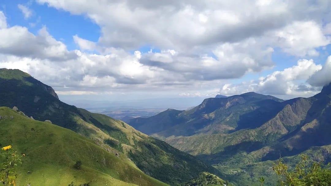
Top Station, one of the highest points in the Munnar region near the Kerala–Tamil Nadu border, is famed for its panoramic views over the Western Ghats and the mist-filled Theni valley below. It is also historically associated with the Neelakurinji, the flower that blooms en masse once every twelve years. Early mornings offer the clearest views before clouds roll in.
Getting there
How to Reach Top Station
Roughly 32 km from Munnar by road, past Mattupetty and Kundala; taxis available.
Gallery
Photos of Top Station
Location
Find it on the Map
Interactive map powered by OpenStreetMap.
Plan your day
Nearby Attractions to Combine with Your Visit
More places in Munnar to see on the same trip, nearest first.
YS
≈ 4.5 km
Kundala Lake
Picturesque dam-lake surrounded by hills, known for boating and seasonal blooms.
4.5 km awayView details →
 ≈ 7.7 km
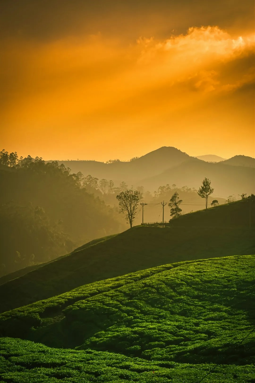
Echo Point
Lakeside viewpoint famed for its natural echo, amid tea-covered hills.
7.7 km awayView details →
 ≈ 11 km
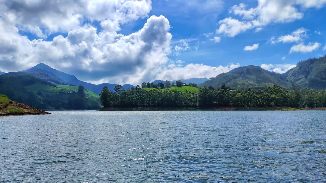
Mattupetty Dam
Scenic reservoir near Munnar popular for boating and lakeside views.
11 km awayView details →
 ≈ 19 km
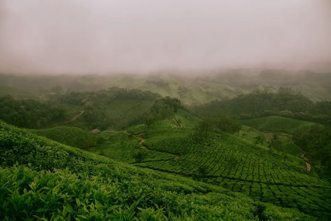
Tea Gardens & Tata Tea Museum
Rolling tea plantations and a museum tracing Munnar's tea-growing heritage.
19 km awayView details →
 ≈ 22 km
Eravikulam National Park
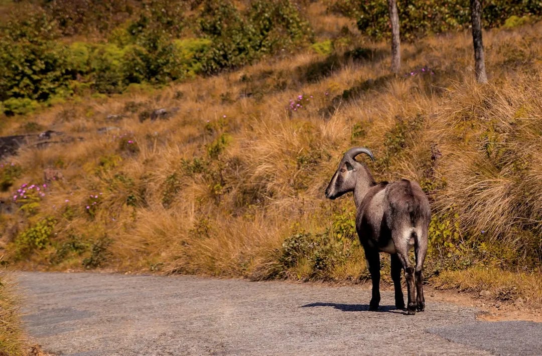
High-altitude park protecting the endangered Nilgiri tahr, with rolling grasslands.
22 km awayView details →
≈ Straight-line distance from Top Station. The road route is usually longer.
See all places to visit in Munnar →