
Plan your visit
At a Glance: Essential Visitor Information
TimingsDaytime (restricted cantonment access)
Entry feeFree (ID/security check)
Best time to visitYear-round
From city centreAbout 4 km
LocationKasauli, Himachal Pradesh
Know before you go
About Christ Church to Monkey Point Walk
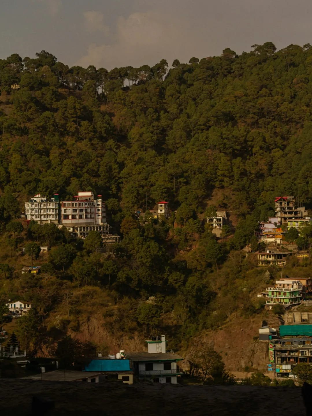
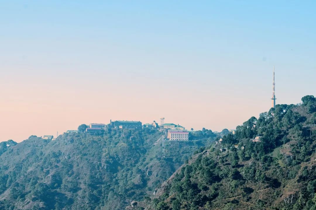
Monkey Point (Manki Point), the highest point in Kasauli, has a small Hanuman temple at its summit and offers panoramic views over the hills and, on clear days, distant plains. It lies within the Air Force cantonment, so entry rules and photography restrictions apply — carry ID and check current access.
Getting there
How to Reach Christ Church to Monkey Point Walk
Roughly 4 km from the Mall in the Air Force station area; access is controlled — check rules.
Gallery
Photos of Christ Church to Monkey Point Walk
Location
Find it on the Map
Interactive map powered by OpenStreetMap.
Plan your day
Nearby Attractions to Combine with Your Visit
More places in Kasauli to see on the same trip, nearest first.
YS
≈ 1.8 km
Kasauli Brewery (exterior) & Gurkha Fort area
Historic hillside area with one of India's oldest breweries and old fort remnants.
1.8 km awayView details →
 ≈ 2.3 km
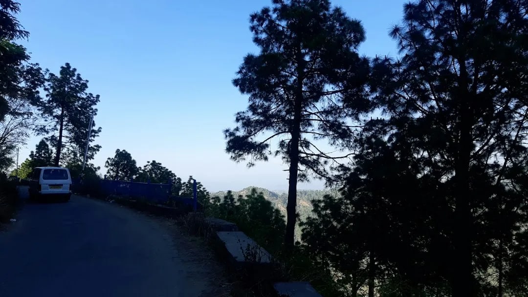
The Mall Road (Kasauli)
Kasauli's quiet colonial promenade lined with heritage buildings and views.
2.3 km awayView details →
 ≈ 2.3 km
Gilbert Trail
Scenic nature walk along a hillside, popular for birdwatching and quiet views.
2.3 km awayView details →
 ≈ 2.4 km
Sunset Point (Lover's Lane area)
Popular viewpoint for sweeping sunset views over the hills and plains.
2.4 km awayView details →
YS
≈ 2.4 km
Christ Church (Kasauli)
Neo-gothic Anglican church from 1853, a Kasauli landmark with stained glass.
2.4 km awayView details →
≈ Straight-line distance from Christ Church to Monkey Point Walk. The road route is usually longer.
See all places to visit in Kasauli →